We reach more than 65,000 registered users in Dec!! Register Now
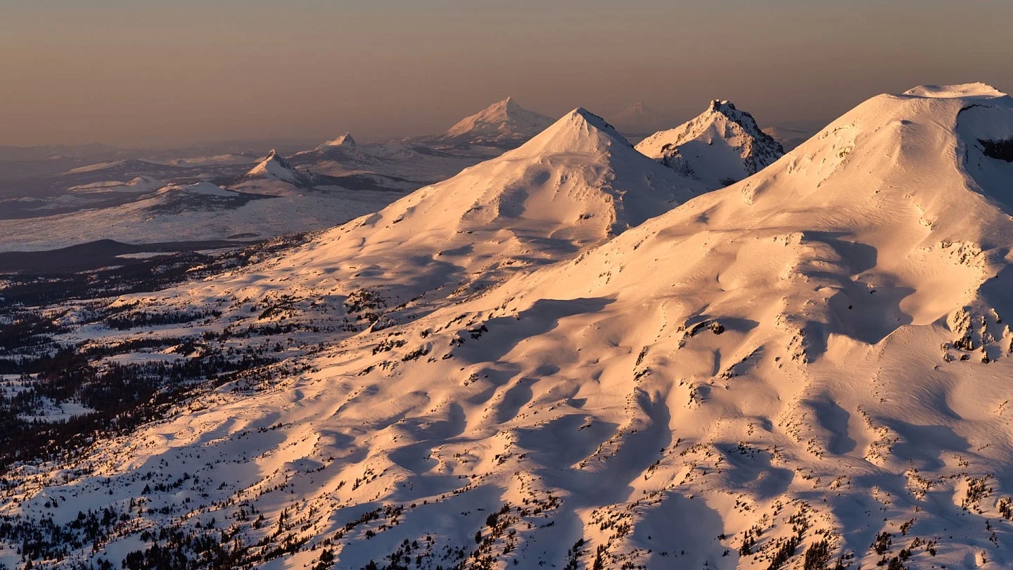
Atop the Oregon Cascades, a UO team finds a huge buried aquifer
- February 14, 2025
- 4 Views
- 0 Likes
- 0 Comment
It could hold at least 81 cubic kilometers of water — roughly 3 times the capacity of Lake Mead
Oregon’s Cascade Range mountains might not hold gold, but they store another precious resource in abundance: water.
Scientists from the University of Oregon and their partners have mapped the amount of water stored beneath volcanic rocks at the crest of the central Oregon Cascades and found an aquifer many times larger than previously estimated — at least 81 cubic kilometers.
That’s almost three times the maximum capacity of Lake Mead, the currently overdrawn reservoir along the Colorado River that supplies water to California, Arizona and Nevada, and greater than half the volume of Lake Tahoe.
The finding has implications for the way scientists and policymakers think about water in the region — an increasingly urgent issue across the Western United States as climate change reduces snowpack, intensifies drought and strains limited resources.
It also shapes our understanding of volcanic hazards in the area. Magma interacting with lots of water often leads to explosive eruptions that blast ash and gas into the air, rather than eruptions with slower-moving lava flows.
The team reported the findings in a paper published Jan. 13 in the journal Proceedings of the National Academy of Sciences.
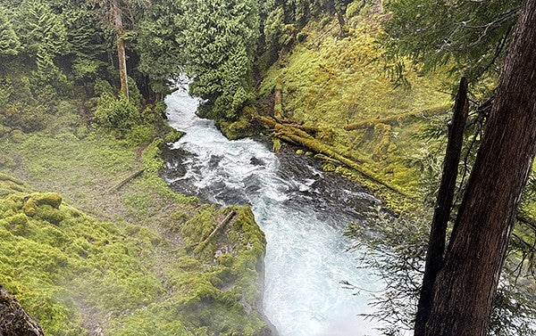
Most Oregonians rely on water that originates from the Cascades. For example, the McKenzie River, which supplies most of Eugene’s drinking water, begins high in the mountains at the spring-fed Clear Lake. But the discovery of this underground aquifer’s size was a surprise.![]()
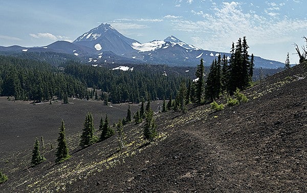
The western Cascades are characterized by steep slopes and deep valleys carved out by rivers. The high Cascades, meanwhile, are flatter, dotted with lakes and volcanic topography such as lava flows. The Cascade Range has been built up by volcanic activity over millions of years, making the exposed rocks in the high Cascades much younger than those in the western Cascades.
List of Referenes
- Leif Karlstrom, Nathaniel Klema, Gordon E. Grant, Carol Finn, Pamela L. Sullivan, Sarah Cooley, Alex Simpson, Becky Fasth, Katharine Cashman, Ken Ferrier, Lyndsay Ball, Daniele McKay. State shifts in the deep Critical Zone drive landscape evolution in volcanic terrains. Proceedings of the National Academy of Sciences, 2025; 122 (3) DOI: 10.1073/pnas.2415155122
Cite This Article as
No tags found for this post