We reach more than 65,000 registered users in Dec!! Register Now

AI Helps Researchers Dig Through Old Maps to Find Lost Oil and Gas Wells
- January 23, 2025
- 3 Views
- 0 Likes
- 0 Comment
Undocumented orphaned wells pose hazards to both the environment and the climate. Scientists are building modern tools to help locate, assess, and pave the way for ultimately plugging these forgotten relics.
Scattered across the United States are remnants from almost 170 years of commercial drilling: hundreds of thousands of forgotten oil and gas wells. These undocumented orphaned wells (UOWs) are not listed in formal records, and they have no known (or financially solvent) operators. They are often out of sight and out of mind – a hazardous combination.
If the wells weren’t properly plugged, they can potentially leak oil and chemicals into nearby water sources or send toxic substances like benzene and hydrogen sulfide into the air. They can also contribute to climate change by emitting the greenhouse gas methane, which is about 28 times as potent as carbon dioxide at trapping heat in our atmosphere on a hundred-year timescale (with even higher global warming potential over shorter periods).
To find UOWs and measure methane emissions in the field, researchers are using modern tools, including drones, laser imaging, and suites of sensors. But the contiguous United States covers more than 3 million square miles. To better predict where the undocumented wells might be, researchers first pair the new with the old: modern artificial intelligence (AI) and historical topographic maps.
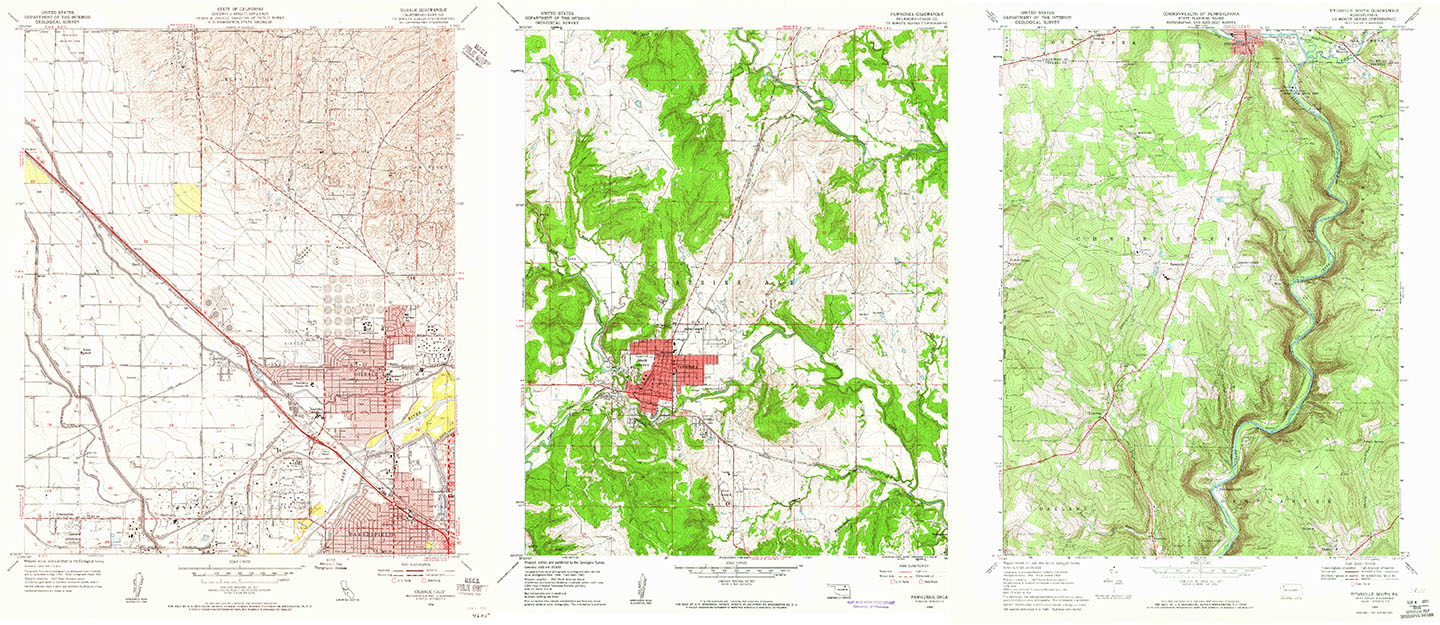
Since 2011, the United States Geological Survey has uploaded 190,000 scans of historical USGS topographic maps made between 1884 and 2006. Crucially, the maps are geotagged, meaning each pixel corresponds to coordinates that can be easily referenced.
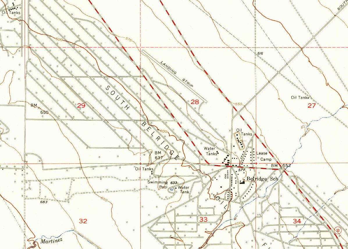
Ciulla pulled together quadrangle maps, rectangular maps that cover a set amount of latitude and longitude and were mapped at a scale where one inch represents 2000 feet. Between 1947 and 1992, these maps also used consistent symbols for oil and gas wells: a hollow black circle.
For this approach to work, the Berkeley Lab research team needed to teach the AI how to identify the correct symbols amidst all the other visual information. It also needed to work on maps with different terrain and colors, as well as maps in different conditions (old, new, stained, pristine).
“This problem is equivalent to finding a needle in a haystack, since we are trying to find a few unknown wells that are scattered in the midst of many more documented wells,” said Charuleka Varadharajan, a scientist at Berkeley Lab and senior author of the study.
Researchers used a digital tool to manually mark oil wells on nearly 100 maps from California and create a training set for the AI. Once taught to find the hollow circles and to ignore false positives (such as cul-de-sacs or symbols with circular patterns, like the number 9 or letter “o”), the algorithm could be applied to any of the USGS maps with the same symbols. And because the maps were georeferenced, the algorithm could take the coordinates for the oil wells marked on the map and compare them with coordinates for documented wells.
List of Referenes
- Fabio Ciulla, Andre Santos, Preston Jordan, Timothy Kneafsey, Sebastien C. Biraud, Charuleka Varadharajan. A Deep Learning Based Framework to Identify Undocumented Orphaned Oil and Gas Wells from Historical Maps: A Case Study for California and Oklahoma. Environmental Science & Technology, 2024; DOI: 10.1021/acs.est.4c04413
Cite This Article as
No tags found for this post


